August 30, 2020 - FunFly along the NC/VA border - Part Two
|
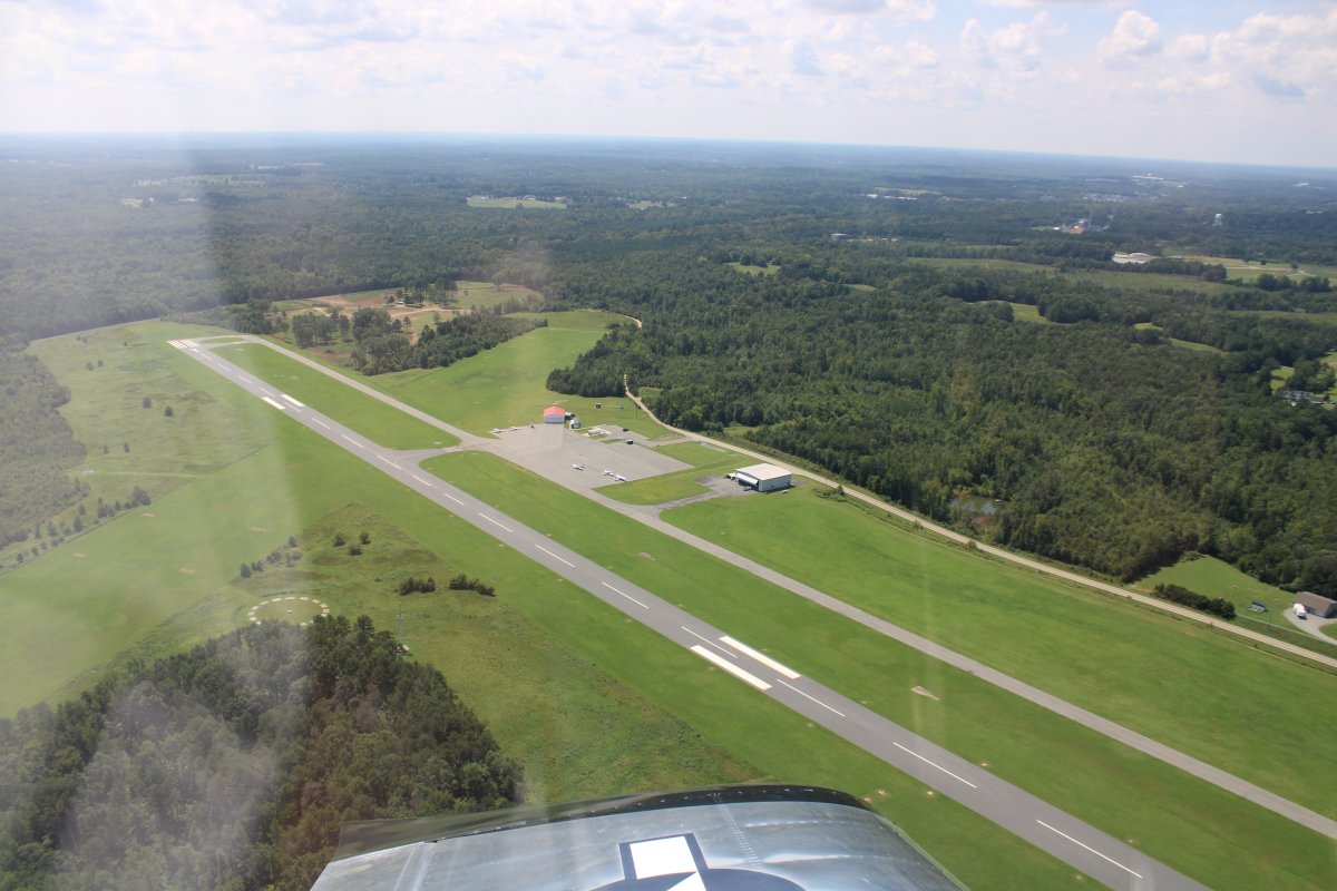
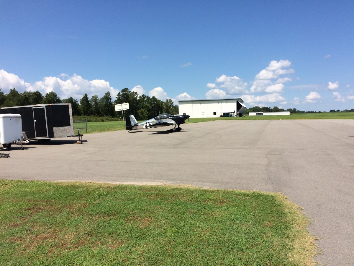
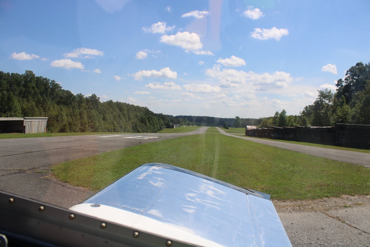
| Overhead William M. Tuck (W78) airport, near South Boston, Virginia. |
| |
 |
|
|
Tuck was a nice, well-maintained airport, although I didn't see anyone around. That's not ususual at general aviation airports, unfortunately.
|
| |
 |
|
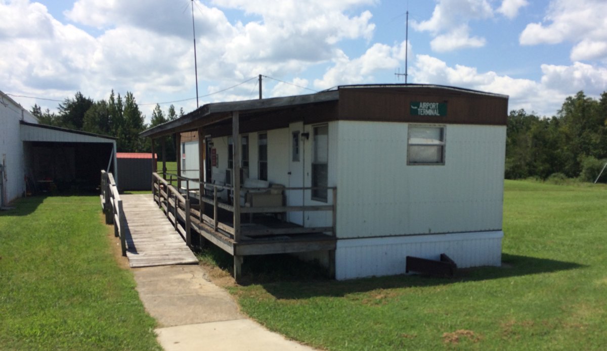
| The Terminal building. Go ahead and laugh, but the trailer building was open and air-conditioned inside. It had a bathroom, information for transient pilots, and a sofa and lazy boys to rest in. A great place for a tired pilot to rest a bit. This is something my home airport should do. We have the facility. But it has never been available to transcient pilots. Yet some publicly call Essex Skypark a "Magical Place" and a "Friendly Grassroots Airport". In their imaginations only. |
| |
 |
|
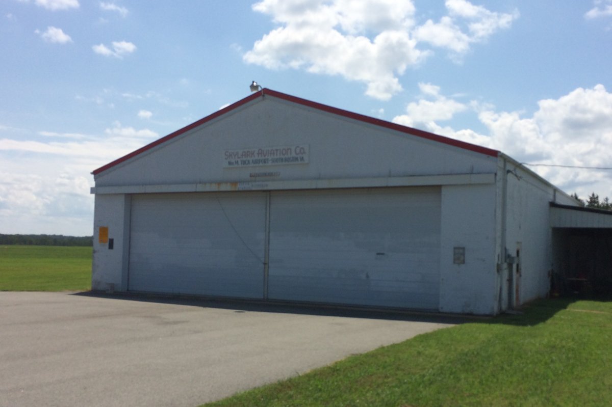
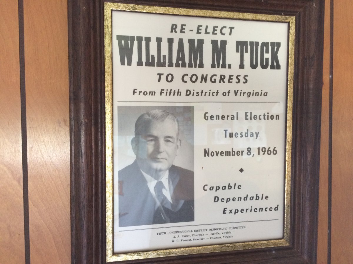
The airport is named after William M. Tuck who was a one-term governor of Virginia and eight-term Congressman. |
| |
 |
|
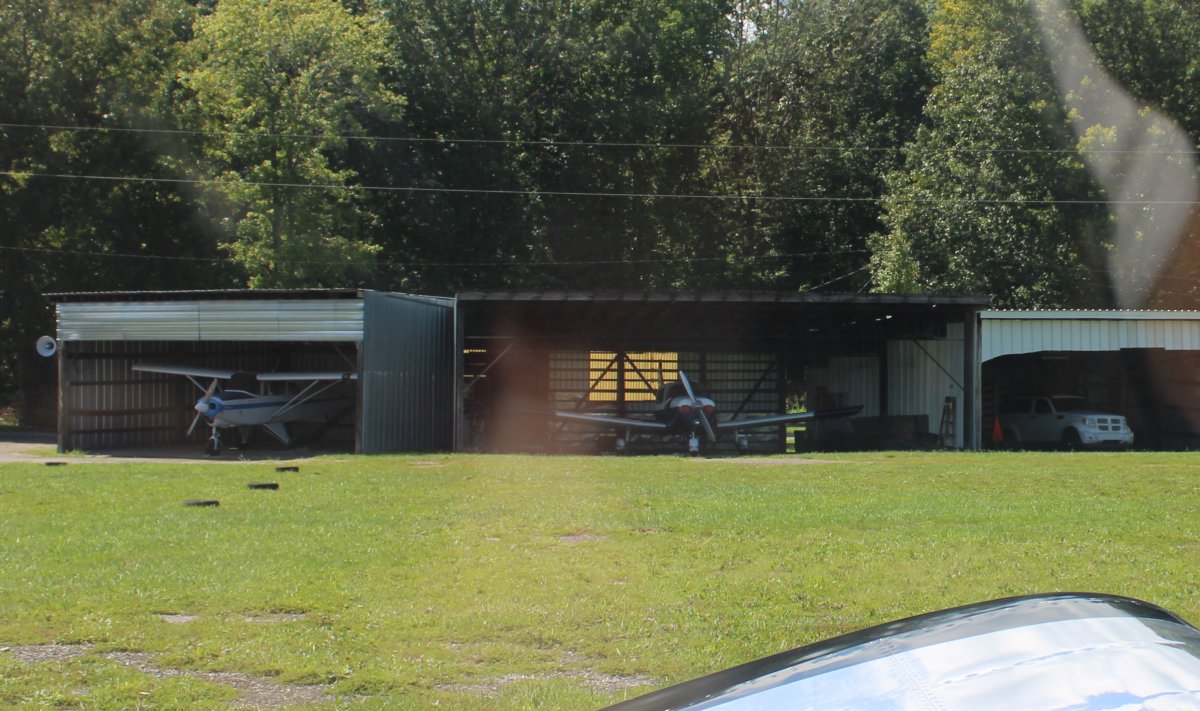
| Parked on the ramp at Tuck Airport. |
| |
 |
|
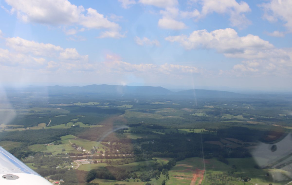
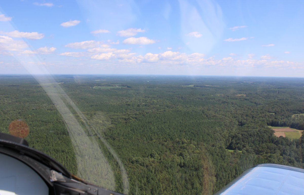
| I continued northwest over the countryside as the river was now to small to fly. |
| |
 |
|
| There is the Staunton River which is essentially a continuation of the Roanoke River. The Staunton River is wide here because there of the Leesville Dam to the northeast. |
| |
 |
|
|
Cruising over the Staunton River.
|
| |
 |
|
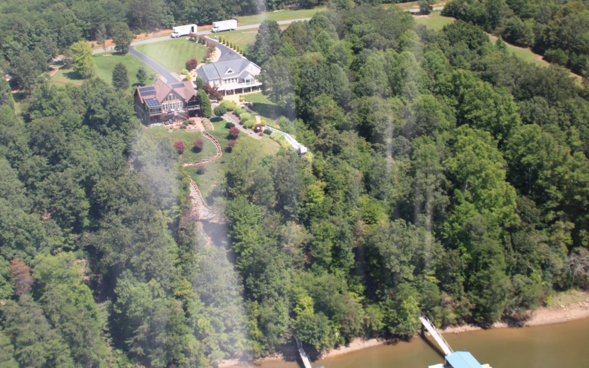
| Waterfront homes aren't as fancy here. The area is fairly remote. |
| |
 |
|
|
These houses overlooking the river are pretty nice.
|
| |
 |
|
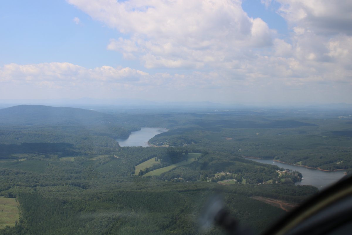
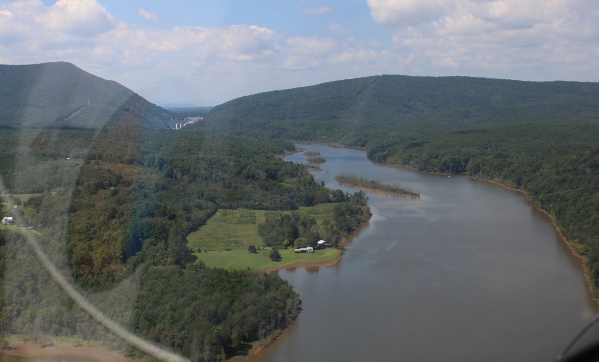
| The Smith Mountain Dam is visible up ahead in the Smith Mountain Gap. |
| |
 |
|
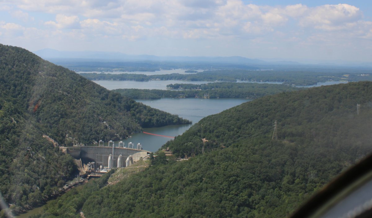
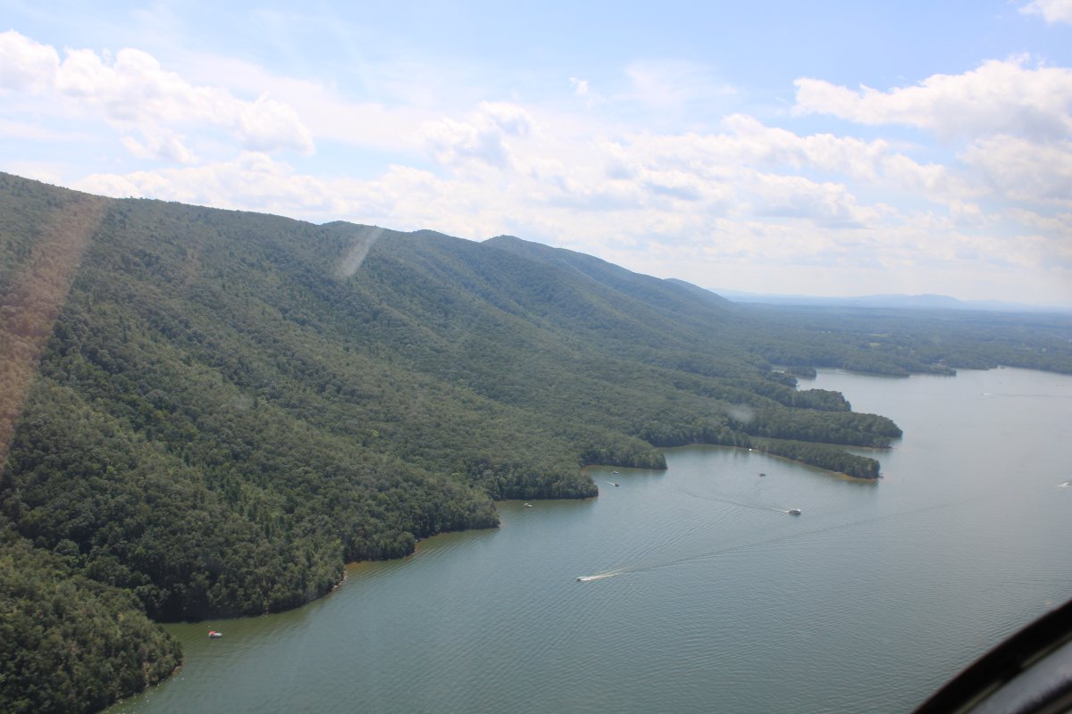
| Then suddenly there was the Smith Mountain Lake reservoir. |
| |
 |
|
| The Lake runs up against tree-covered Smith Mountain running north to south. |
| |
 |
|
|
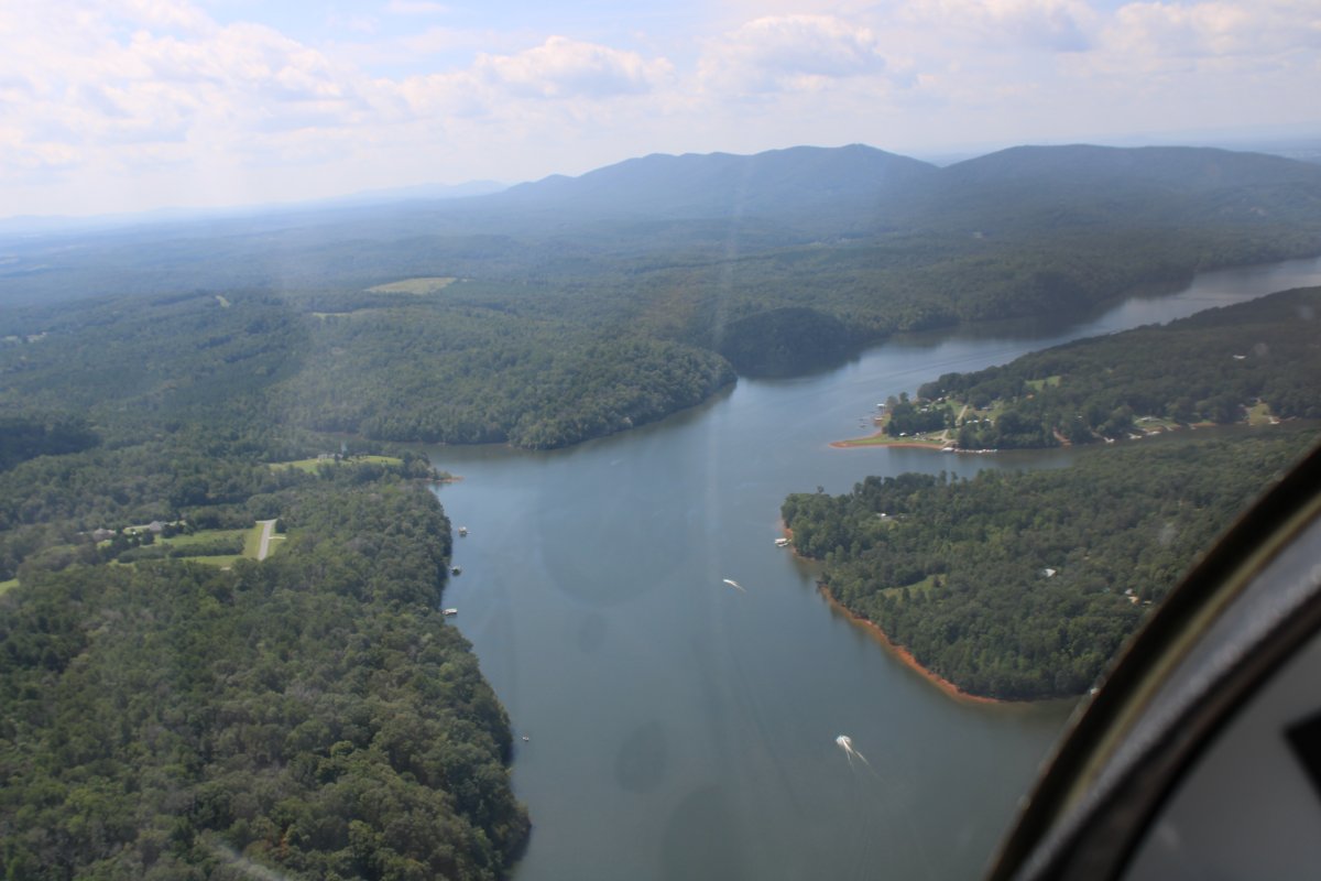
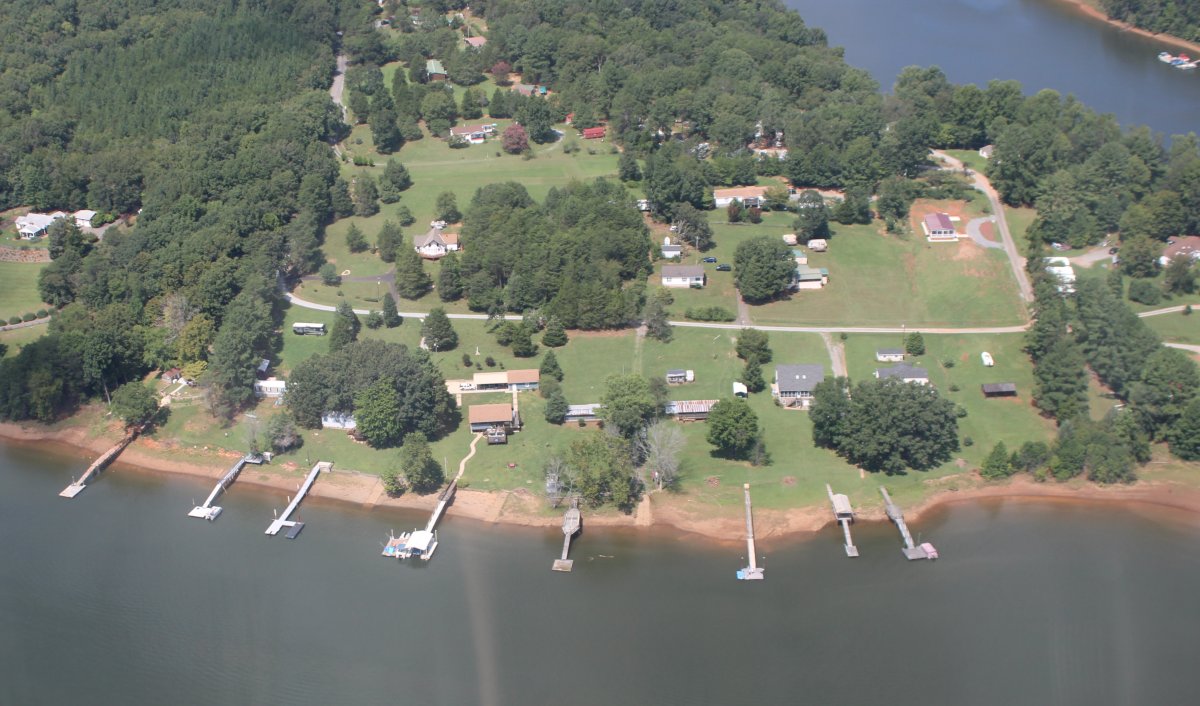
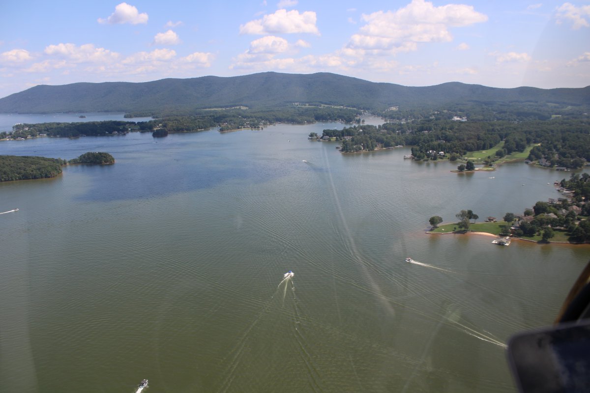
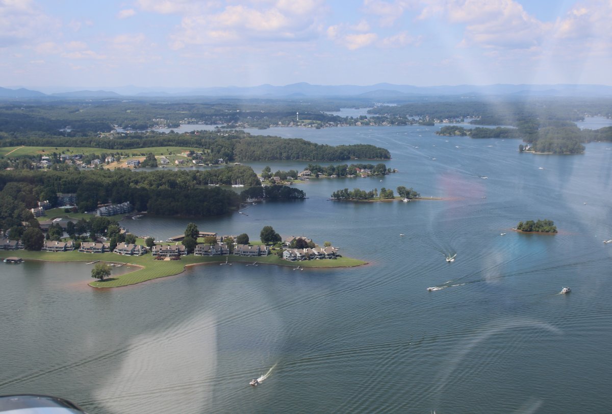
This Lake was a happening place. There were boats all over the place and most of the waterfront was occupied.
|
| |
 |
|
| |
| |
 |
|
|
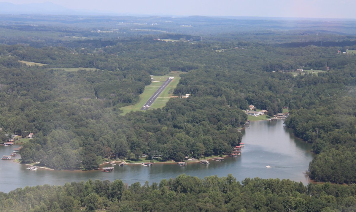
Smith Mountain Lake even has its own airport: Smith Mountain Lake Airport (W91)
|
| |
 |
|
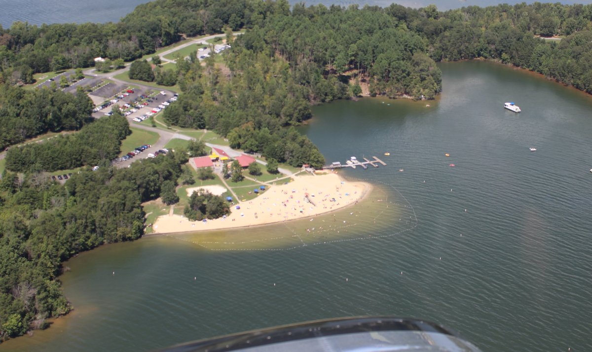
| People having fun at the Lake beach. |
| |
 |
|
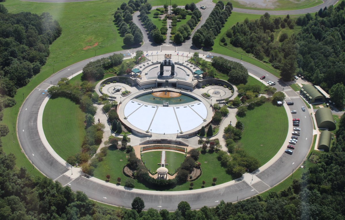
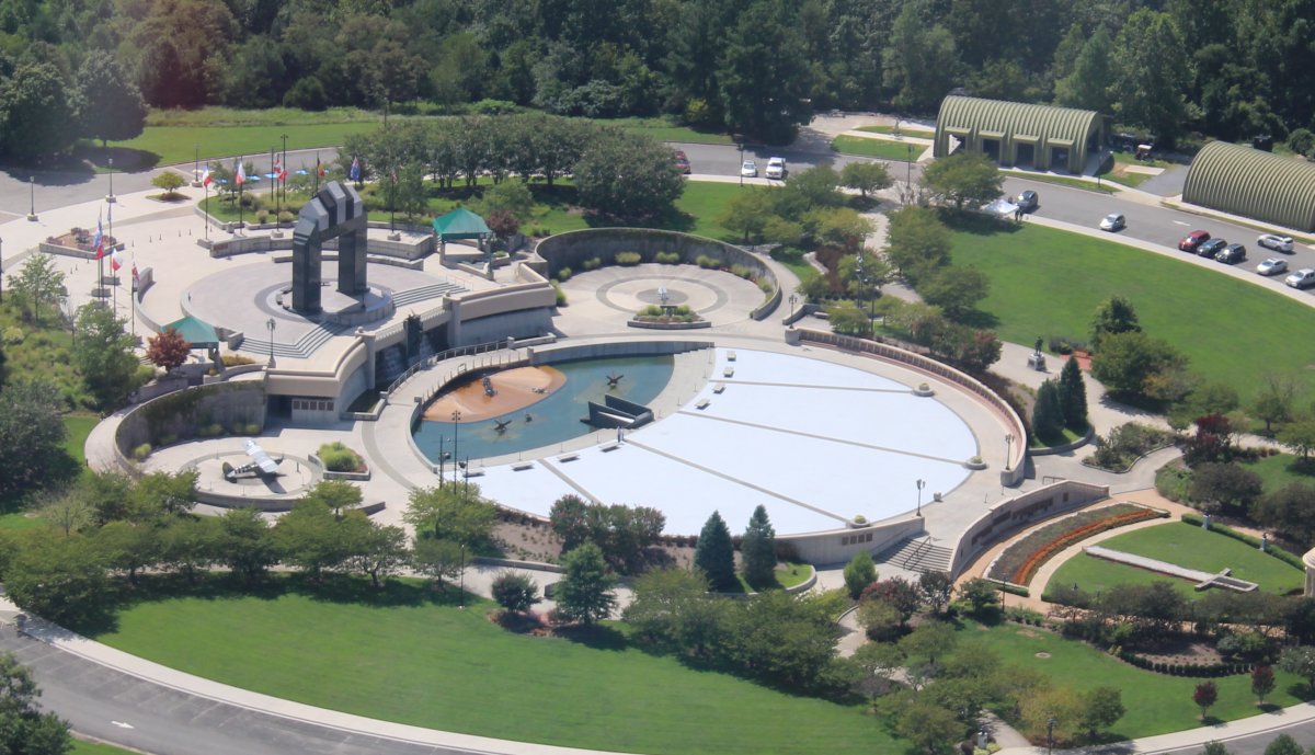
| From Smith Mountain Lake it was a short northeast hop to Bedford, Virginia to see the D-Day Memorial from the air. Lynnette and I had visited the D-Day Memorial by car back in February and greatly enjoyed it. Link. |
| |
 |
|
| The D-Day Memorial from the side. They have guided-tours which are excellent. There are so many informative plaques that the Memorial is basically an outside museum. Highly recommended if you are in the area. |
| |
 |
|
|
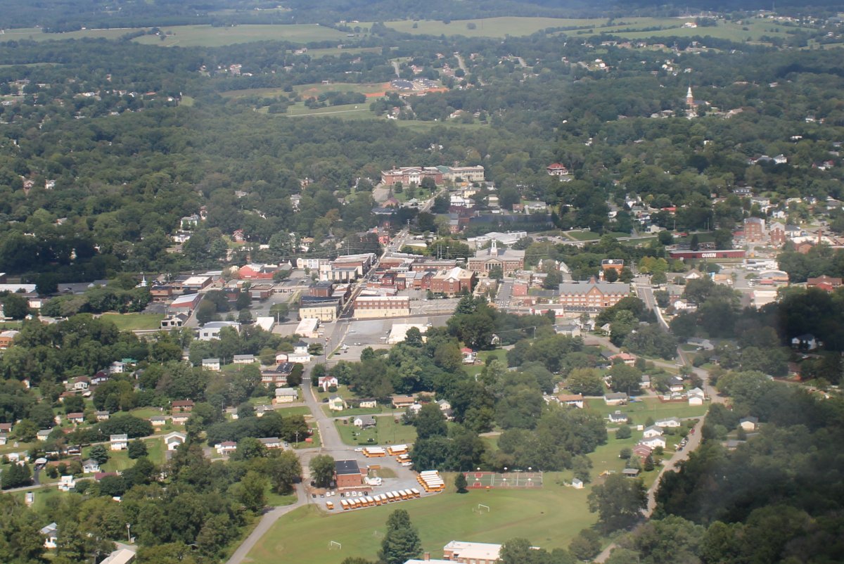
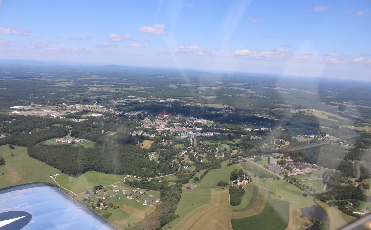
Nearby is the little town of Bedford. Why is this obscure little town hosting the D-Day Memorial?
|
| |
 |
|
|
Just after Bedford, I noticed my canopy was not fully latched down. I couldn't do it in flight. There was no danger of the thing flying off but I decided to land at New London Airport (W90)and latch it properly. The wind was light but was favoring runway 36. On final I noticed the runway had a pretty good incline but I was landing uphill so that was good. I landed, latched down the canopy properly, taxiied up the hill, and then took off going downhill. There was no FBO or services at this airport but there were hangars filled with planes along the runway.
Here I am taxiing uphill pass what looks to be an airport office/lounge.
|
| |
 |
|
|
Here I am at the top of the hill about to take off on runway 18.
|
| |
 |
|
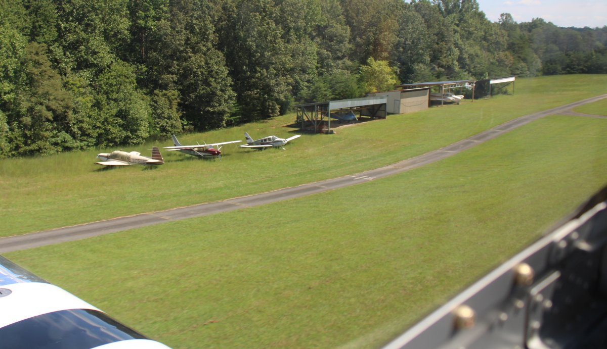
| Planes in hangars. |
| |
 |
|
|
Just after takeoff.
|
| |
 |
|
|
I headed east for a short while and soon came upon the town of Appomattox. Why did I want to come here?
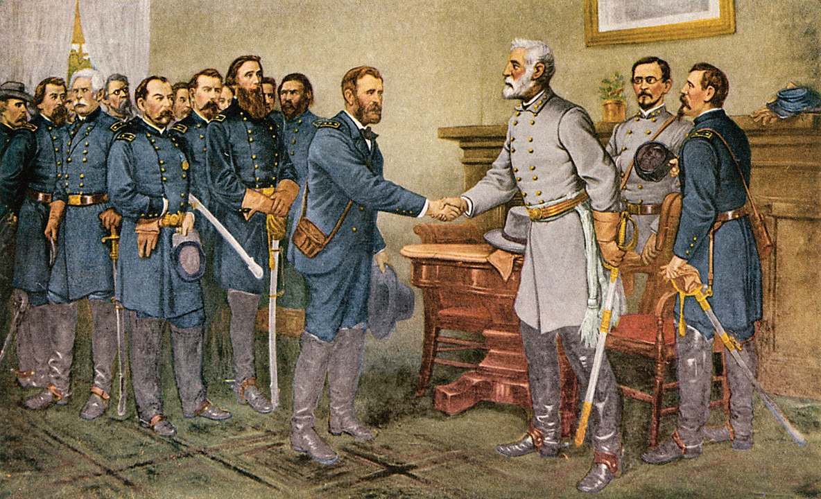
To see the Appomattox Court House, where the Confederate General in Chief, Robert E. Lee, and his Army of Northern Virginia surrendered to the Union Army of the Potomac under the Commanding General of the United States, Ulysses S. Grant on April 9, 1865. Link
Appomatix is a good ways to the west from Richmond and Petersburg. Appomattox Court House was a small village of roughly twenty buildings that served as a waystation for travelers on the Richmond-Lynchburg Stage Road.
My problem was that I hadn't done my homework and didn't know what I was looking for. I had seen the house where the surrender took place in a recent TV miniseries on U.S. Grant but had no idea where it was. Was it in the town? But I didn't see anything that looked right in the town.
|
| |
 |
|
|
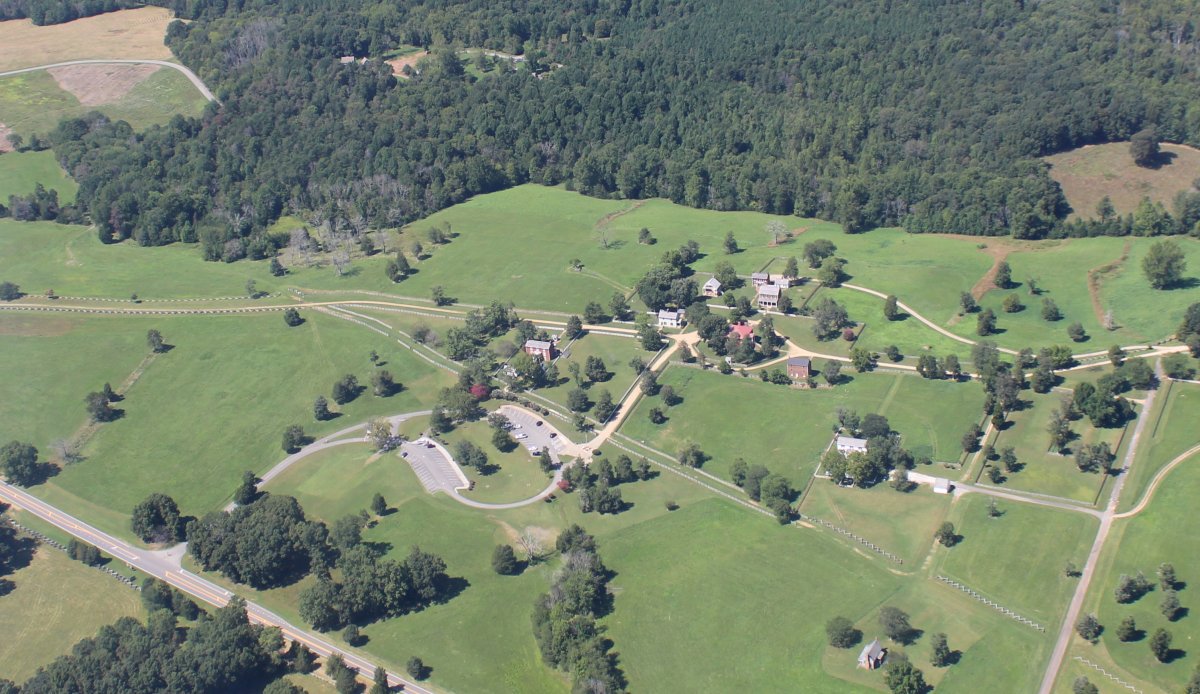
Just a little northeast of town I noticed some parking lots and small houses that looke promising. Then I saw the split-rail fences so representative of the Civil War and knew this had to be it. It didn't take me long to pick out the surrender house.
Here I am over Appomattox Court House.
|
| |
 |
|
|
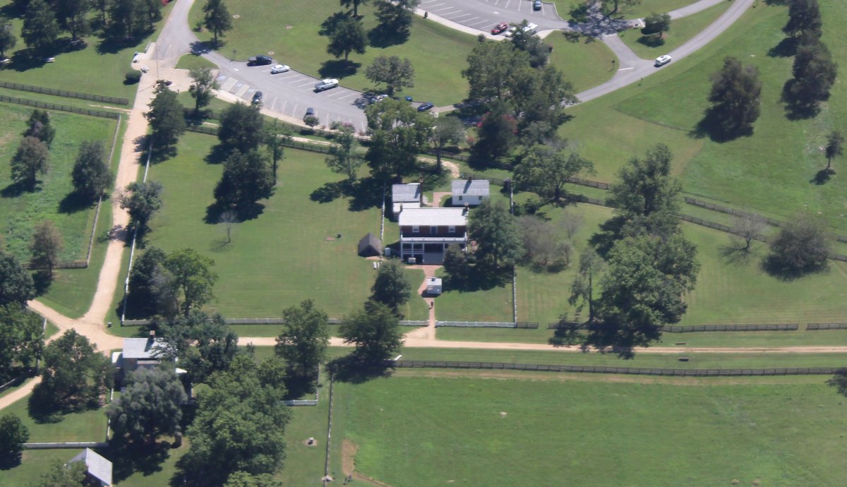
The surrender took place in the 1848 brick home of Wilmer McLean, now known as the McLean House. McLean had lived near Manassas Junction during the First Battle of Bull Run, and had retired to Appomattox to escape the war. The house became a sensation after the surrender. Union officers took some mementos; and in 1893 it was dismantled for display in Washington, D.C. But that display never happened, and the National Park Service reconstructed the building on its original site in the 1940s.
That's the McLean house at center. I need to come here and check it out on the ground someday.
|
| |
 |
|
|
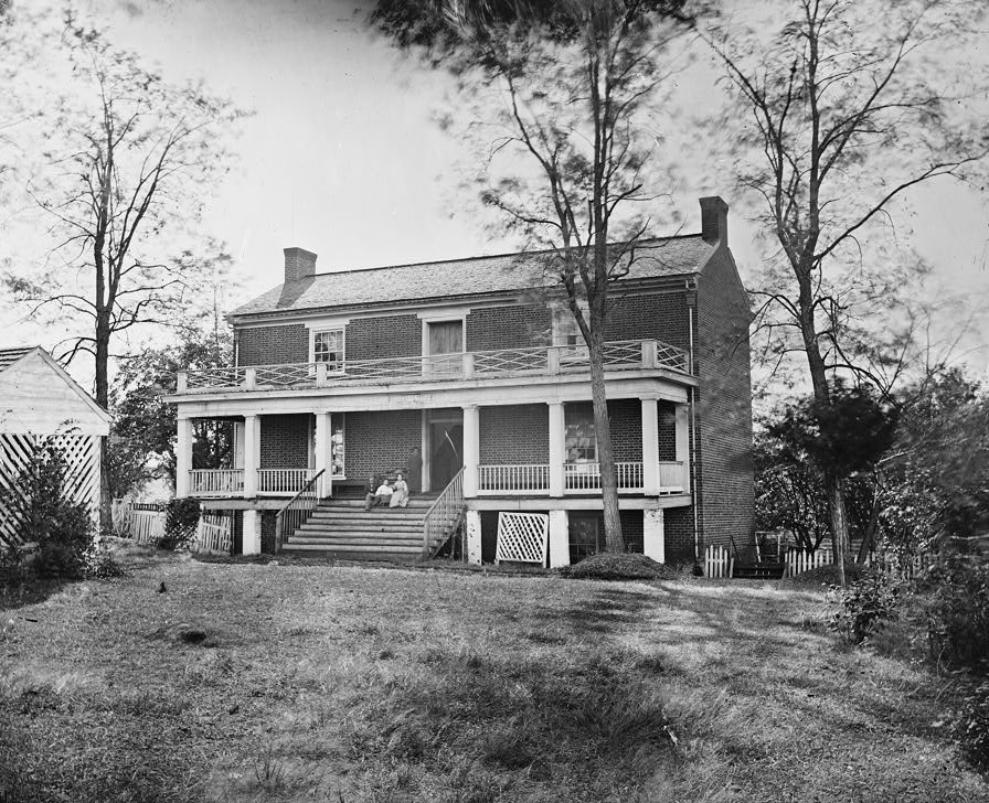
The McLain house in 1865.
|
| |
 |
|
|
A print showing Union Army General in Chief Ulysses S. Grant accepting Confederate General in Chief Robert E. Lee's surrender on April 9, 1865. This is a reproduction of a painting by Thomas Nast, which was completed thirty years after the surrender.
|
| |
 |
|
|
Heading north-northeast over a sea of trees towards Charlottsville, Virginia.
|
| |
 |
|
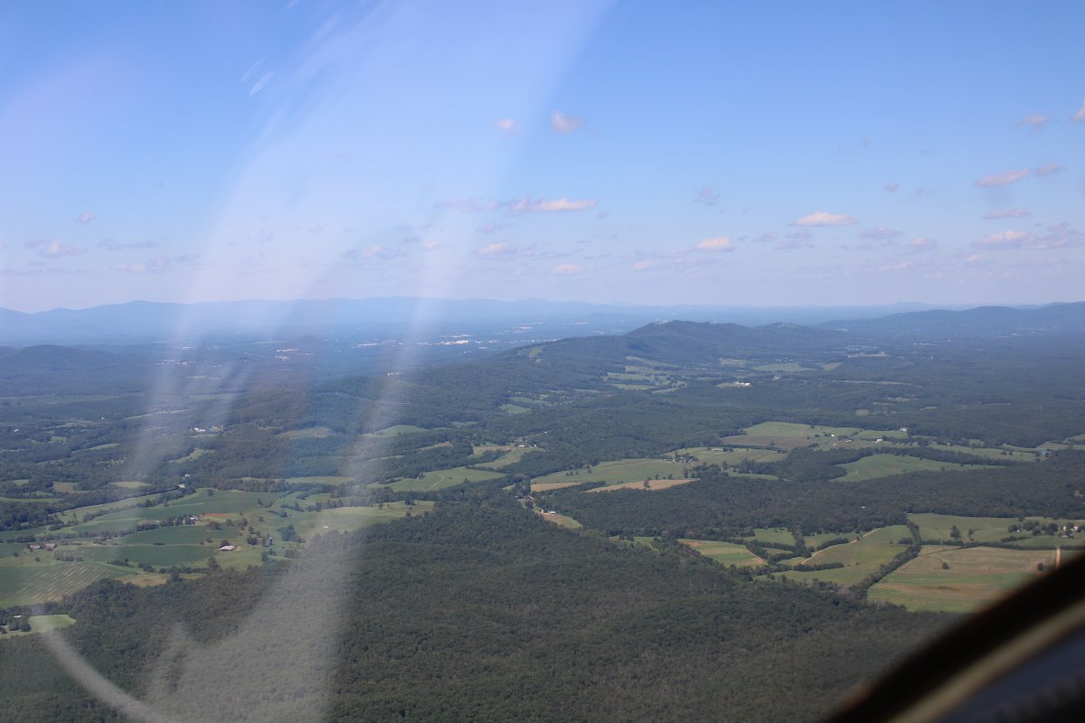
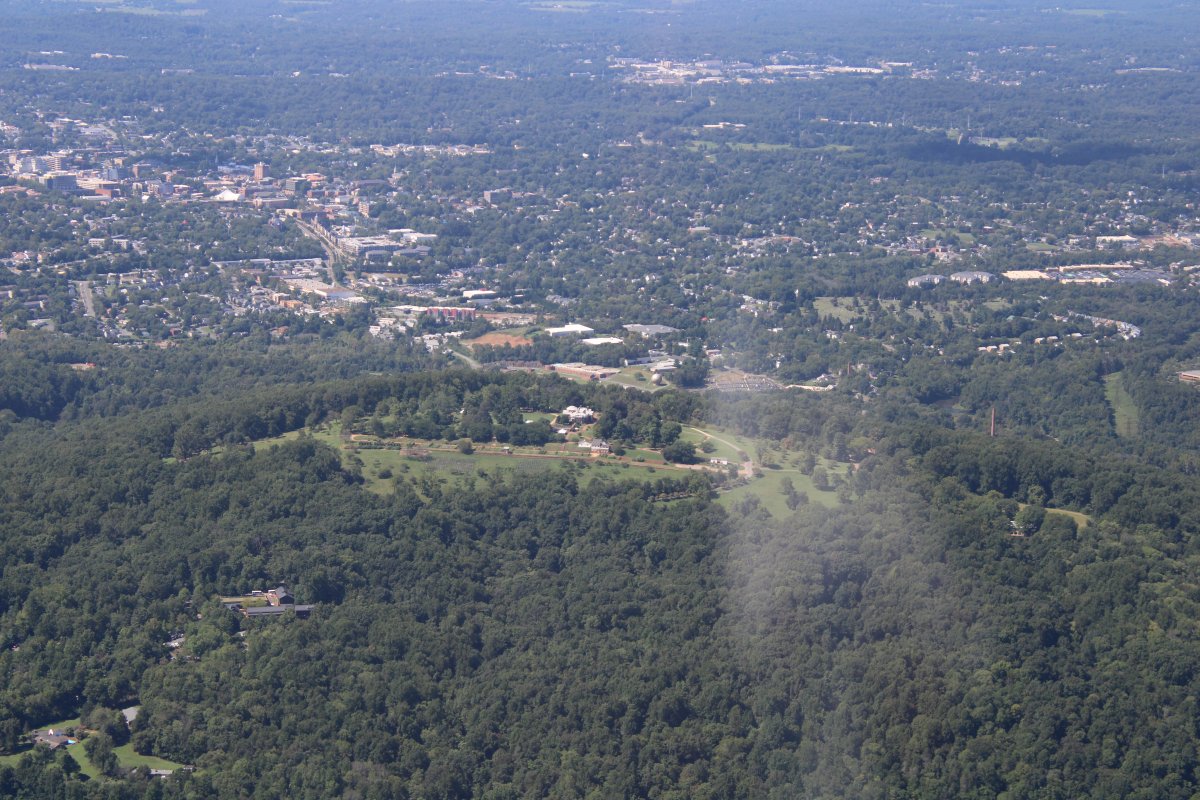
| Charlottesville is on the other side of that ridge at center. |
| |
 |
|
|
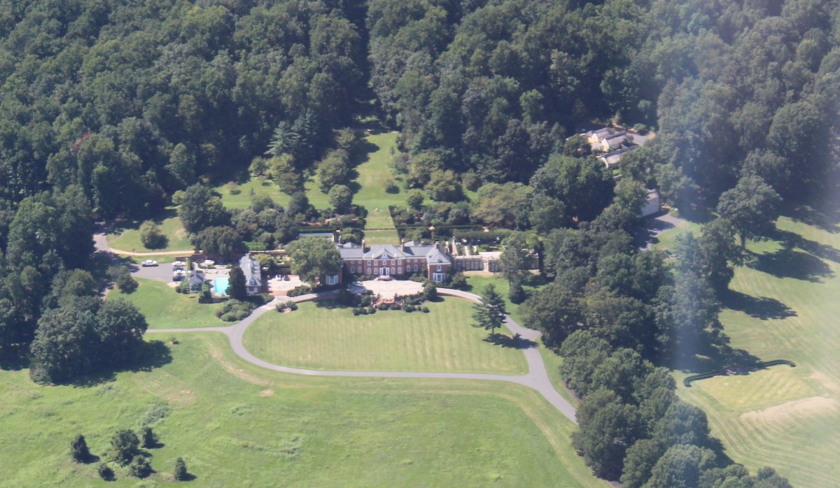
A big mansion at the eastern base of the ridge.
|
| |
 |
|
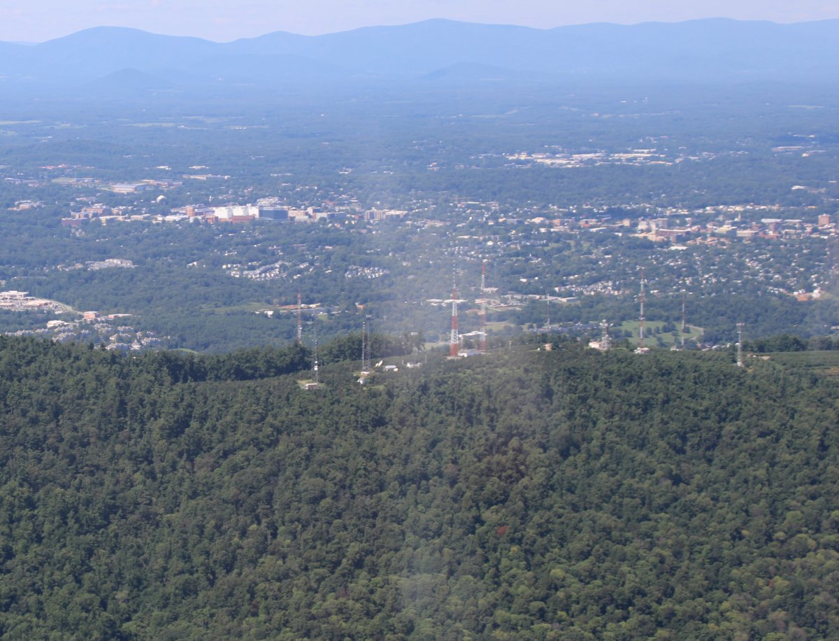
| Lots of antennas on the ridge overlooking the city. |
| |
 |
|
|
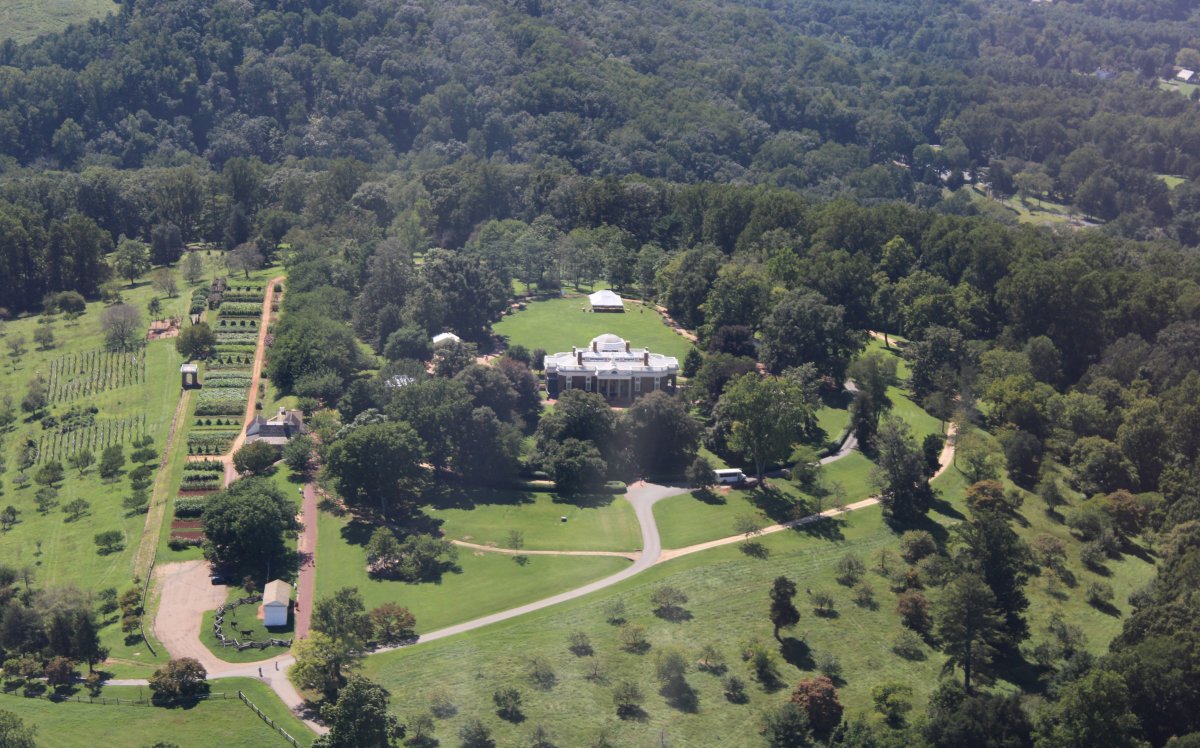
Can you guess what this is? Yes, it's Monticello, Thomas Jefferson's famous home and plantation.
We visited Monticello by car a few years ago so I was very familiar with the grounds. This is the front of the house.
|
| |
 |
|
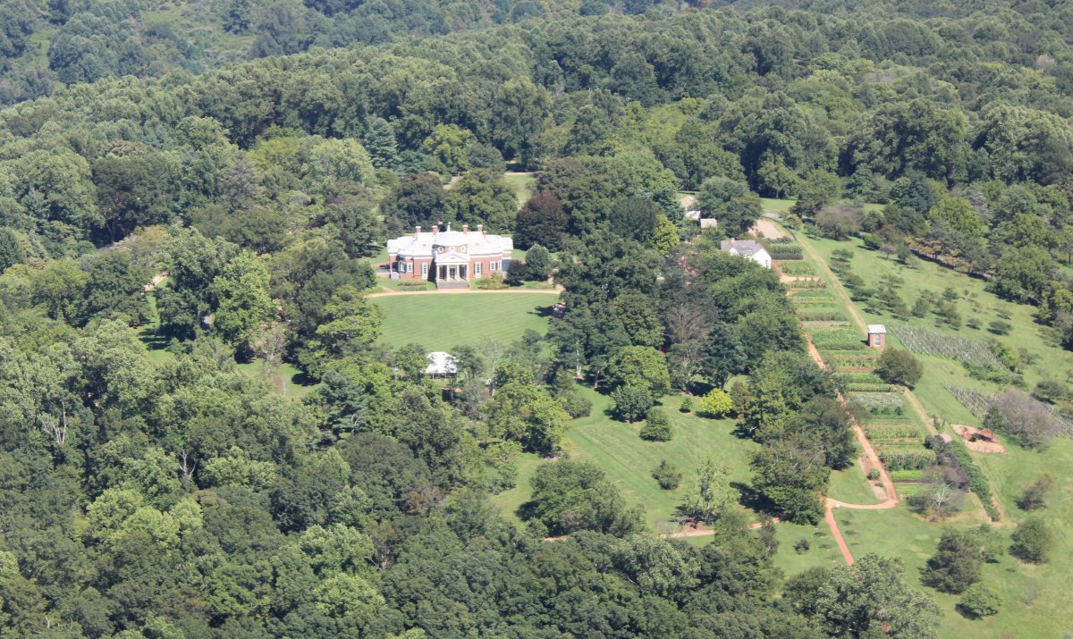
| And this is the rear. Monticello is well worth visiting, if you ever have the chance. |
| |
 |
|
|
This picture shows how Monticello sits on the top of a ridge overlooking Charlottesville to the west.
|
| |
 |
|
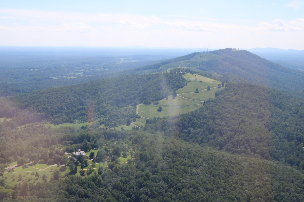
| Looking south. Monticello is at lower left. |
| |
 |
|
|
Leaving Monticello, I headed west to check out the University of Virginia -- founded by Thomas Jefferson in 1819-- in Charlottsville.
|
| |
 |
|
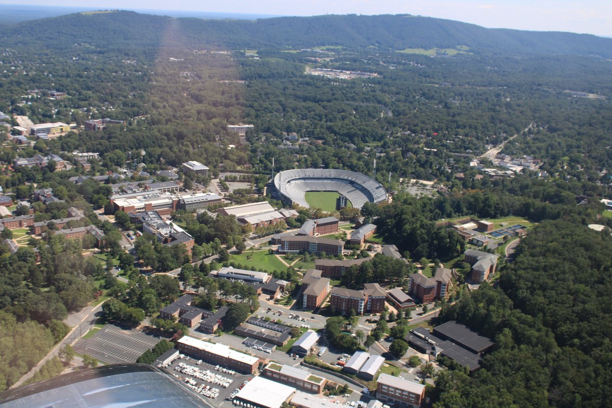
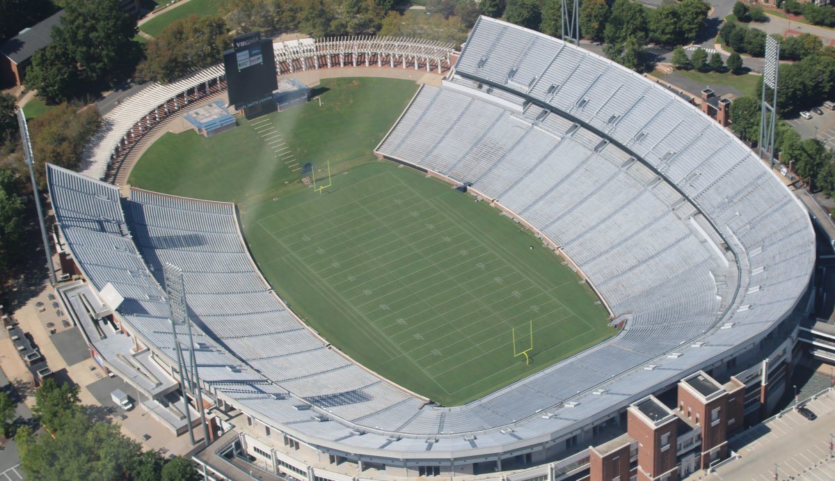
| A good look at the UVA football stadium. I went to a game here once, long ago, between Navy and Virginia, when I was a Midshipman and more than happy to get away from the Yard. |
| |
 |
|
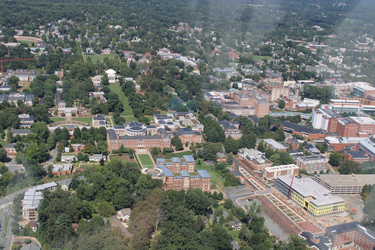
| A better look at the University of Virginia campus. |
| |
 |
|
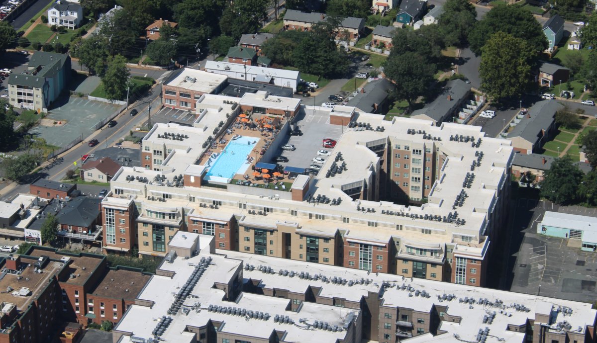
| Pool on the roof of an apartment building in Charlottesville. |
| |
 |
|
|
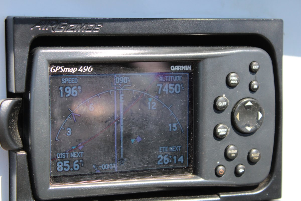
After Charlottesville, I climbed up to 7,500 and headed for home. I couldn't believe it -- another good tailwind! A tailwind going and coming? That never happens.
|
| |
 |
|
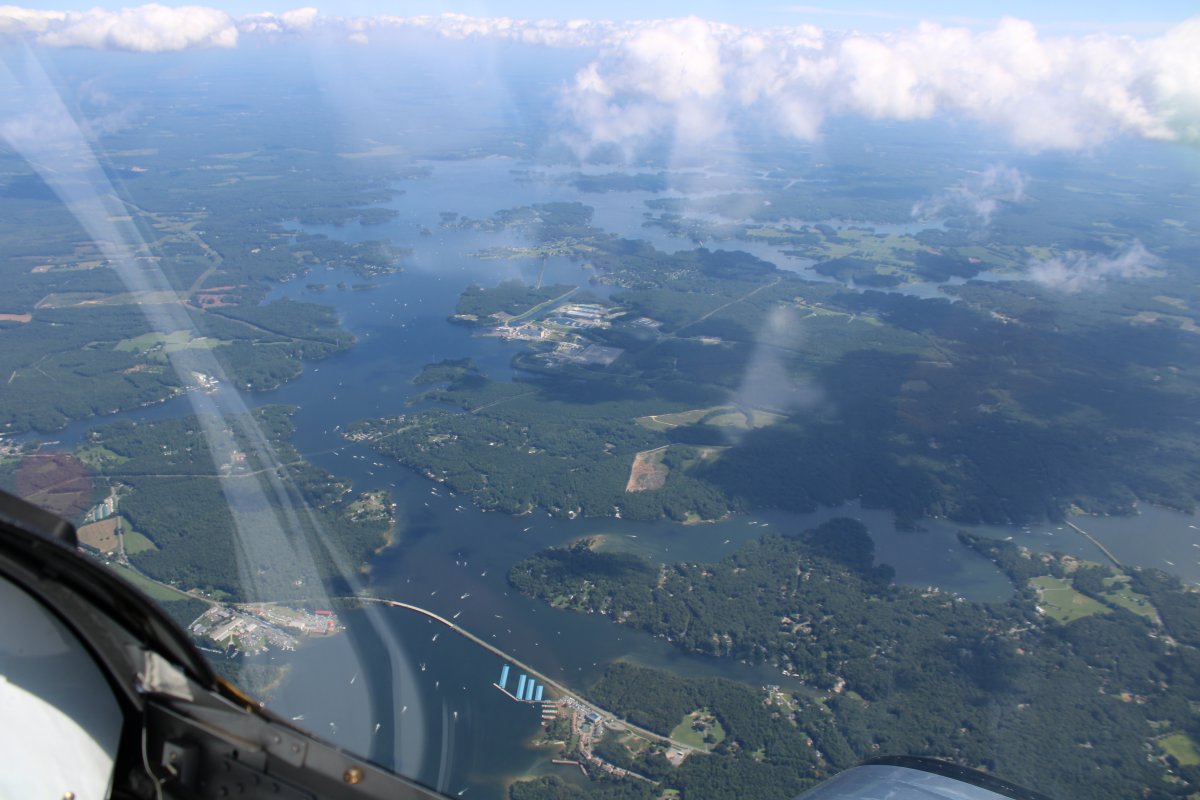
| You'd think I would be heading north but I was actually heading east towards St. Marys. Here I am passing over big Lake Anna -- another reservoir. |
| |
 |
|
|
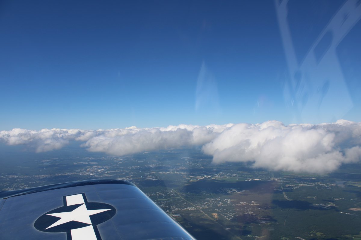
I flew above a broken layer which made things more interesting than just clear blue sky.
|
| |
 |
|
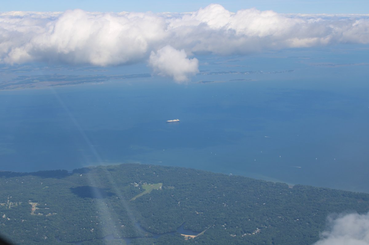
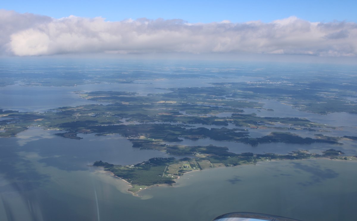
| Now headed northeast about to go feet wet over the Chesapeake Bay. |
| |
 |
|
| The picture shows how phenominal the visibility was today. That's the Choptank River at left to center with Cambridge in the distance at center right. |
| |
 |
|
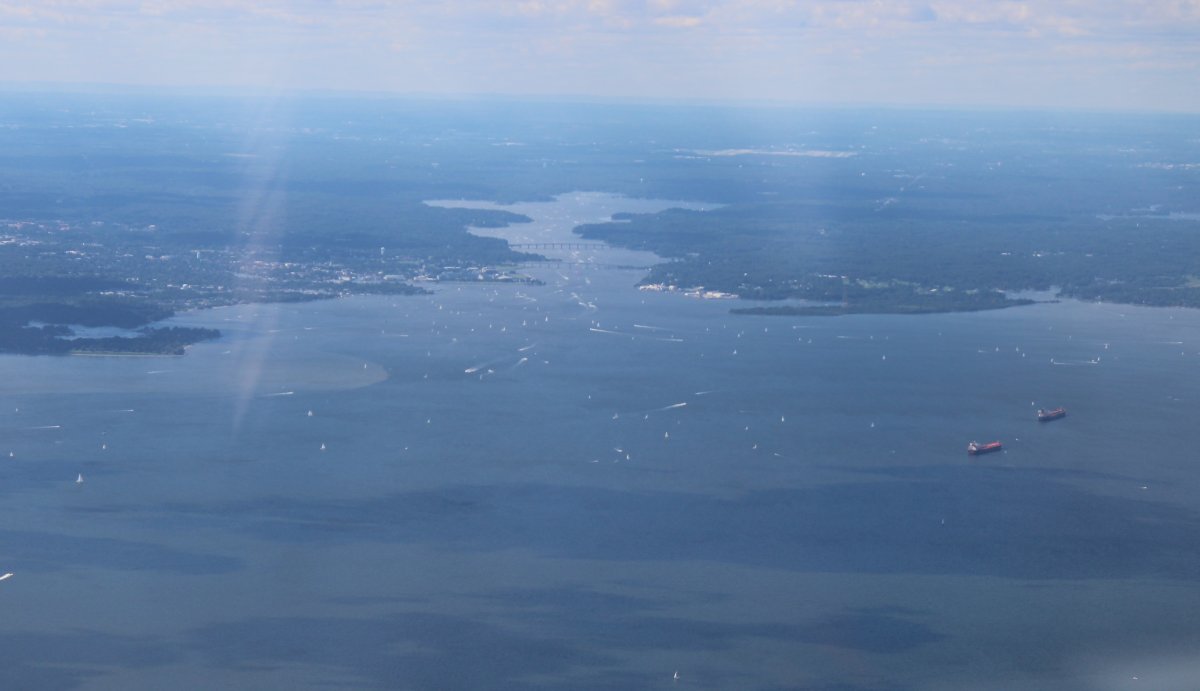
| Lots of boats in the vicinity of Annapolis and heading up the Severn River. |
| |
 |
|
|
Chalk up another great flying day!
|
| |
 |
|
| |
| |
|
|
|
|
|
|